Name of river: Middle
Fork of the
Road condition: Paved
to gravel
Region:
Description: Although
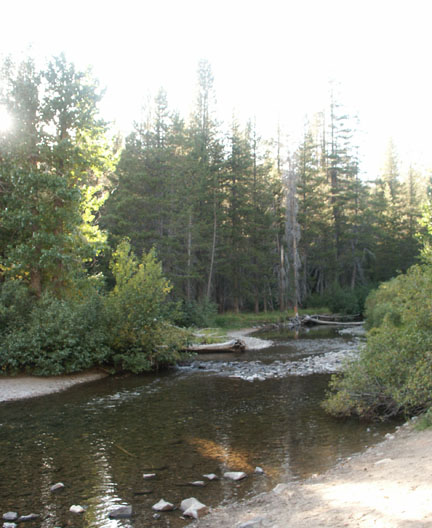
it receives tremendous fishing pressure, the middle fork offers splendid
scenery, a variety of water and some of the most beautiful hiking areas in the
Species: Planted Rainbows and wild Browns and Brookies
Closest town or
supplies:
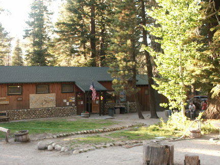
Contacts: Red’s Meadow Resort and Pack Station (800) 292-7758 Stop! Here is a must see web site with video streams of pack trips offered by Red’s Meadow –
Mammoth Lakes Visitor Bureau (888) 466-2666 /
(760)-924-5500; Rick’s
Nearest campground: Minaret Campground, Devils Postpile
Fishing season: General Best times: Early in the season and again in the fall after the pressure drops.
Tips:
Favorite lures or
bait: (See Category: Fishing Tips – Best Lures and Bait)
Favorite fly patterns: See Category: Fishing Tips – Best Fly Patterns and Techniques)
Stocking information: 19,000. The heaviest planting is at the Minaret Campground.
Nearby fishing:
Additional
information:
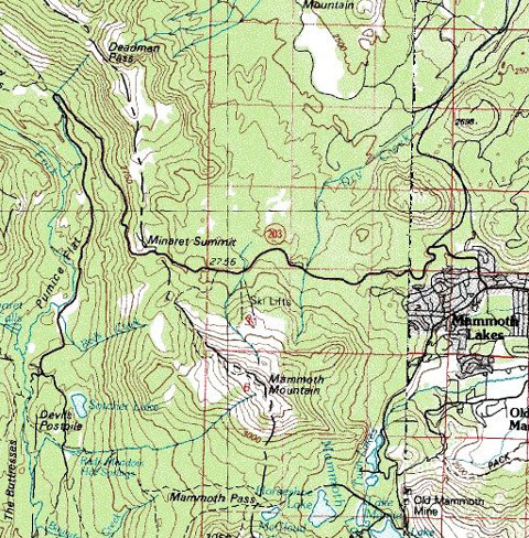
Directions: From
Highway 395, turn west on
Note: If you are visiting the Red’s Meadow area via the shuttle bus, here are the scheduled stops:
Agnew Meadows - trailheads for Shadow, Ediza, Thousand Island & Garnet lakes; Pacific Crest & John Muir trails; pack station; & camping;
Upper Soda Springs Campground – ½-mile walk to camping & river fishing;
Pumice Flat Campground turnoff - camping; group camping by reservation only; Ranger's cabin; pay phone; & amphitheater
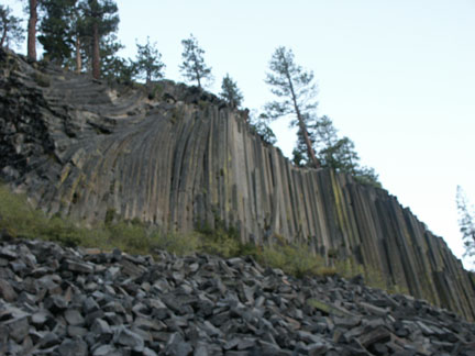
Devils Postpile National Monument - camping; picnicking; Ranger Station; pay phone; information; books & maps; tours & programs; trailheads for Minaret & Beck lakes, Summit Meadow & John Muir Trail. 1/4-mile walk to the postpile rock formation
Reds Meadow Campground - camping; bath house; trailheads for Mammoth Pass & Pumice Flat
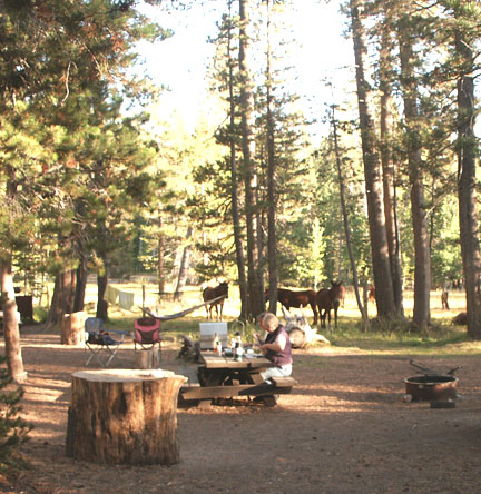
Reds Meadow Resort - pack station; store, cafe, cabins, pay phone.

Leave a comment