Tom's Place, California

Highway 395, 20.5 miles north of Bishop and 17.6 miles
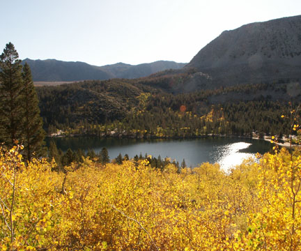
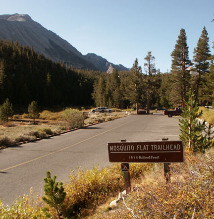
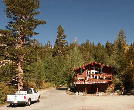
south of Mammoth Lakes and gateway to Rock Creek and Little Lakes Valley. Tom's Place is right off Highway 395 across from Crowley Lake. Tom's Place Resort offers cabins, a general store and a cafe and bar. (See the separate categories for Rock Creek fishing and camping.)


Restaurants and Eateries: Tom's Place Resort; Rock Creek Resort
Events and Festivities: April 26: Opening Day for
the General Trout Season); November 15: General Trout Season Closes
Summer Recreation: Biking, Birding, Camping, Fishing, Hiking, Horseback Riding, Mountaineering, Photography, Rock Climbing
Nearby Fishing: Rock Creek and the Bishop area.
Home: Bishop: Fishing Fishing Tips
Nearby Camping: Home: Bishop: Camping
Bishop Chamber of Commerce
690 N. Main St., Bishop, California 93514; 760-873-8405; 888-395-3952
Toll free
Visitor center hours: 10AM to 5PM M-F 10AM to 4PM Weekends
Tours and Side-Trips:
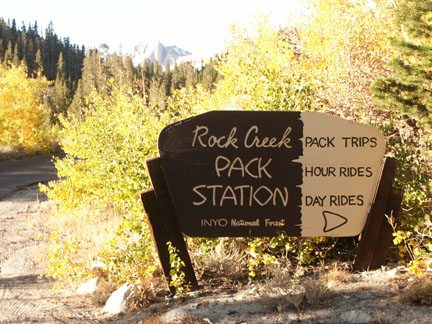
Recreational Contacts: Rock Creek Pack Station (760) 872-8331

Government Contacts:
Bureau of Land Management (Bishop Office) 787 Main Street, Suite P, Bishop, CA 93514
Department of Fish and Game: Season dates, licenses, restrictions, fish stocking
Inyo National Forest: books, maps and wilderness passes and permits: Mt. Whitney Ranger Station (760) 873-2500; White Mountain Ranger Station (760) 873-2500; Mammoth Ranger Station (760) 924-5500 www.fs.fed.us/r5/inyo

Companion Web Sites:
Glacier to Yellowstone (A complete guide to camping and fishing in Montana from Glacier to Yellowstone)
Fishing Tips 101 (Offering a "Mastering the Basics" series for freshwater fishing)
0 TrackBacks
Listed below are links to blogs that reference this entry: Tom's Place, California.
TrackBack URL for this entry: http://www.guidetohighway395.com/cgi-bin/mt/mt-t.cgi/126

Leave a comment